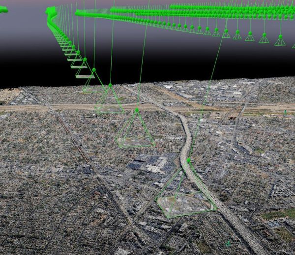
Mapping for Surveyors and Engineers
BKG Aerial Imagery. gathers data for surveyors using the best quality drones, field equipment, processing hardware and software, staying on the forefront of technology so your surveyor can focus on what they do best.
Contact With Us

Our Advantages
Increased Profits
BKG Aerial Imagery., gathers Topographic data points in half the time usual crews can gather using the accuracy of your equipment to mark all ground control, giving you the comfort and accuracy your used to.
Improved Efficiency
BKG Aerial Imagery, helps provide on average a 48% improvement in data gathering speed usually completing large topographic data gathering in one day with 1 or 2 crewmembers.
Save Time & Money
Surveyors using BKG Aerial Imagery, have experienced a reduction in time and cost associated with producing their deliverables, improving profitability and removing personnel from timely and dangerous tasks.